C2C day 5 Patterdale to Bampton
I had a route plotted from Greenbank farm where I’m staying up the ridge via Hartsop and Hayes water. But I read the bridge is out there and OS maps app shows impassable due to flooding.
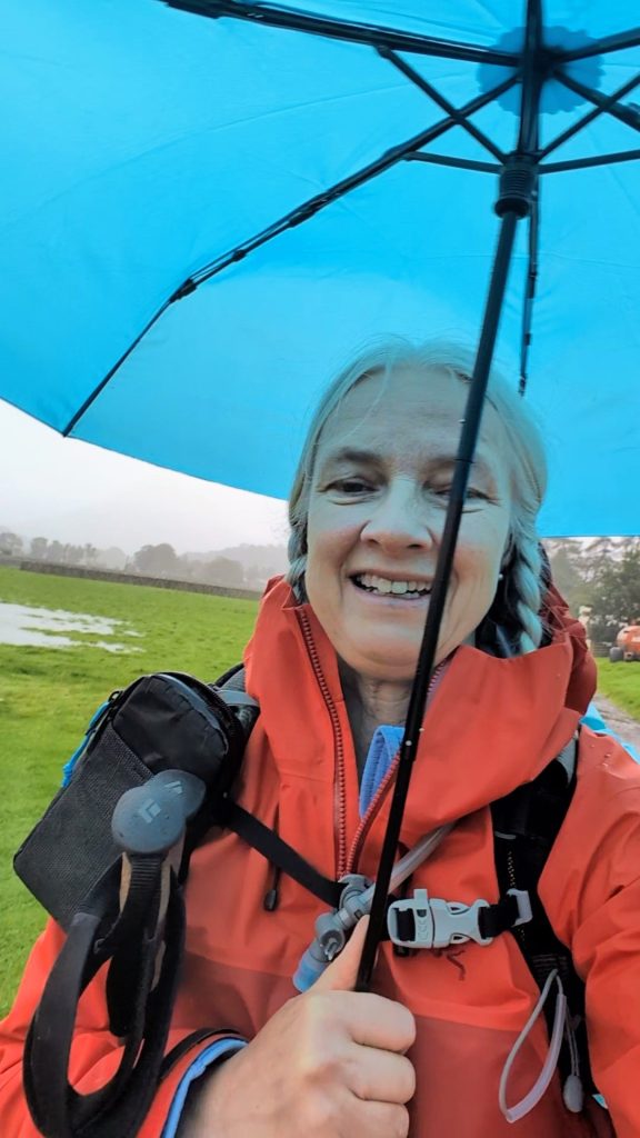
So I am walking with my umbrella back up the road to Patterdale and taking the trail from there. Also the forecasted rain looks correct, and I can no longer see the top of the ridge I need to go over. Hopefully the mist will lift later and I’ll get some great views and although rainy it doesn’t feel cold.

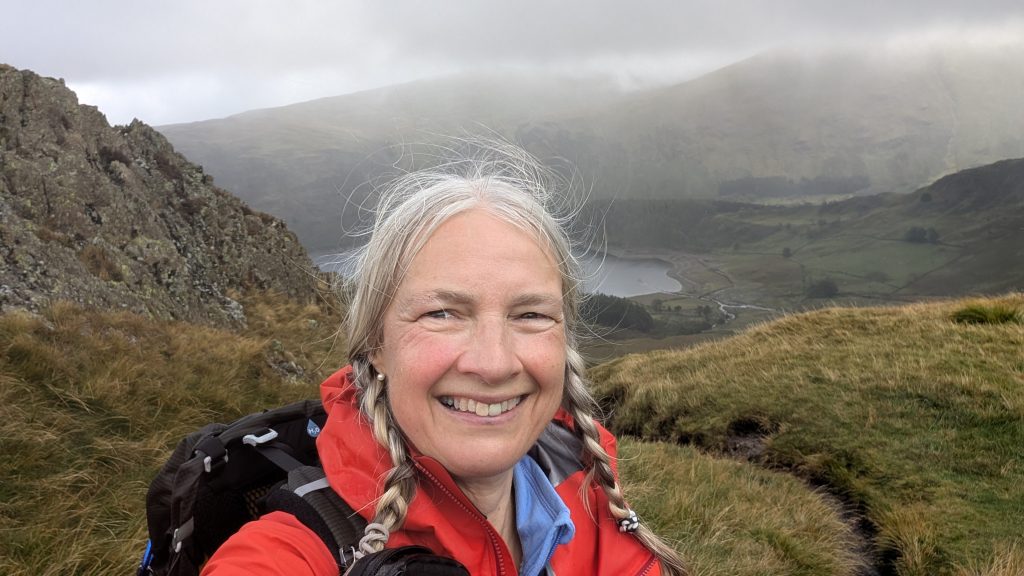
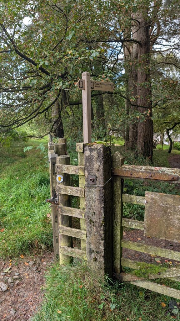
I took a lane across a bridge out of Patterdale, and met with a sign pointing the way for the coast to coast trail. I then followed the small stoney rocky trail climbing out of Patterdale up the ridge. Visibility was not bad…but not great! I did have some nice views back towards Ullswater. The trail leads up to Angle tarn, a nice walk gaining about 350m of elevation over about 3k to the tarn. So uphill but not crazily steep.
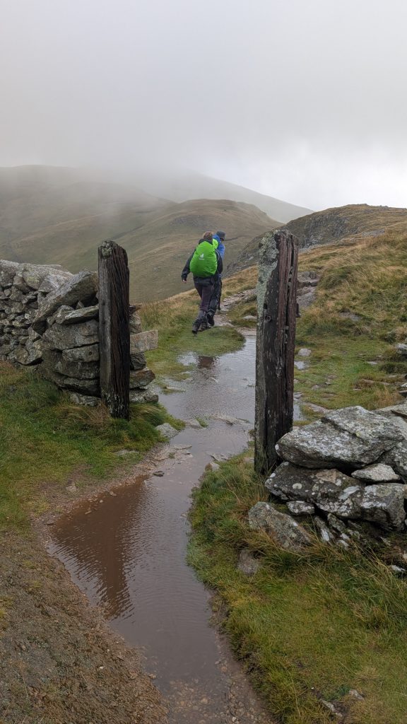
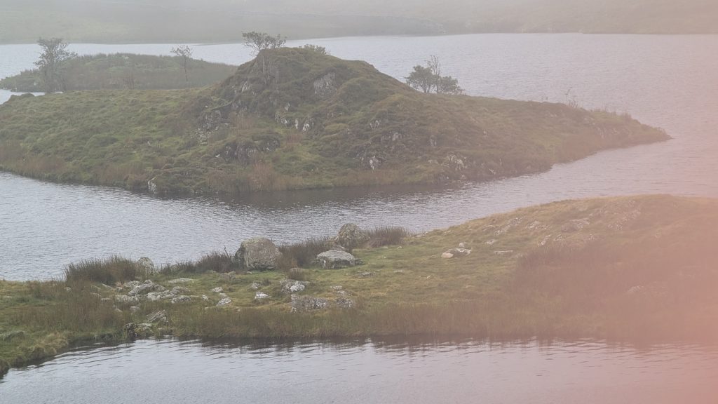
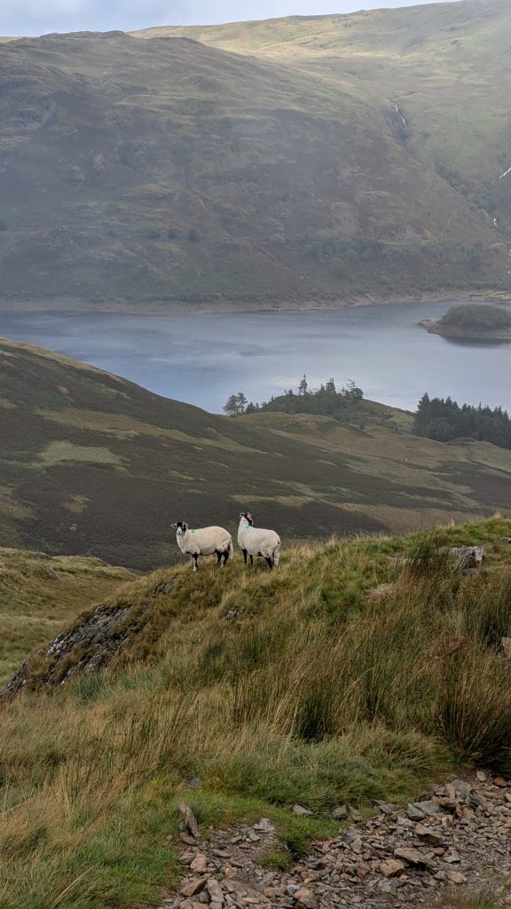
I couldn’t see Angle tarn until I was practical on top of it, visibility dropped quite a bit , though there were many glimpses through the mist as it swirled around. Quite a lot of sheep again, but the only people I saw all day were Tom and Margaret from day 2 up on top being battered by the wind. It was feeling much colder up higher with the wind blowing.
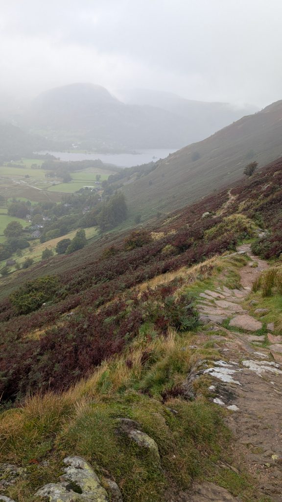
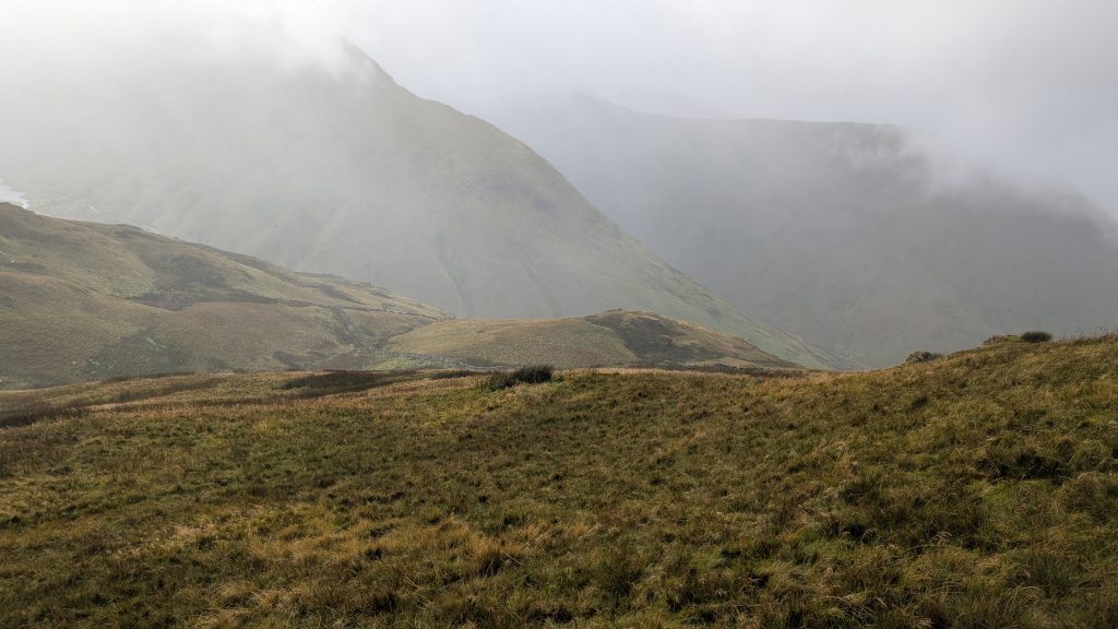
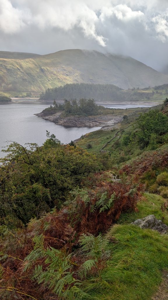
Up again from angle tarn I kept thinking the mist was lifting, but no such luck. So no great views over to other peaks, but some lovely mist filled closer in scenery, and nice views of Haweswater reservoir after crossing the top and getting a bit lower. I had to keep checking my map on my phone to make sure I stayed on track, or at least didn’t go off track for too long!
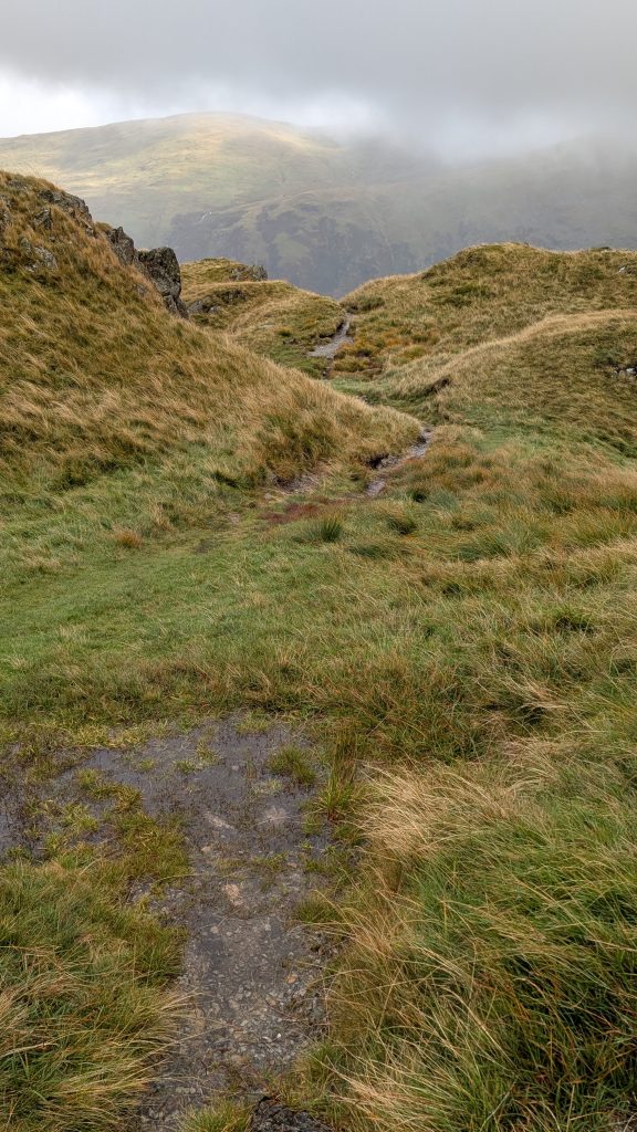
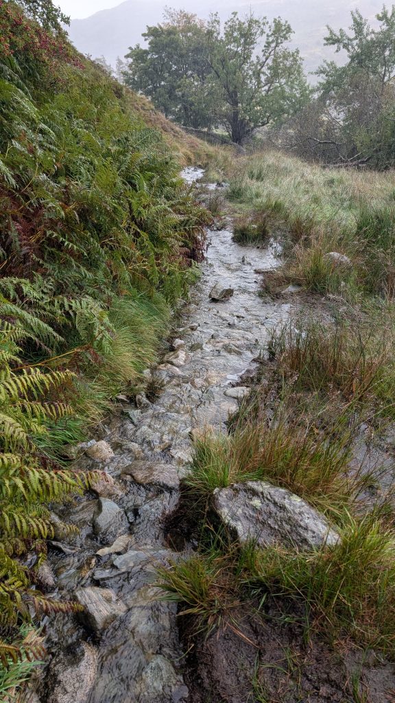
The trail was a bit harder down the steep sections towards the reservoir, with some bigger rocks, and mud. But then back to the now familiar stream like watery trail I’m becoming used to! There was more up and down along the north side of the reservoir than I expected, but nothing difficult, and some dry sections! A long stretch was bordered on the water side with a wire fence, that became annoying after a while for some reason, and this section seemed to go on for ever.
At around 17k just before the end of the reservoir I started looking out for a trail leading up to the left that would be an option to take a trail almost all the way to Bampton. Even though I was sure I was at the spot there was no trail to be seen. That was ok, I continued on and the trail met the minor road at about 18.5k and I reached the Mardale Inn in Bampton at 22k, 6.5hrs.
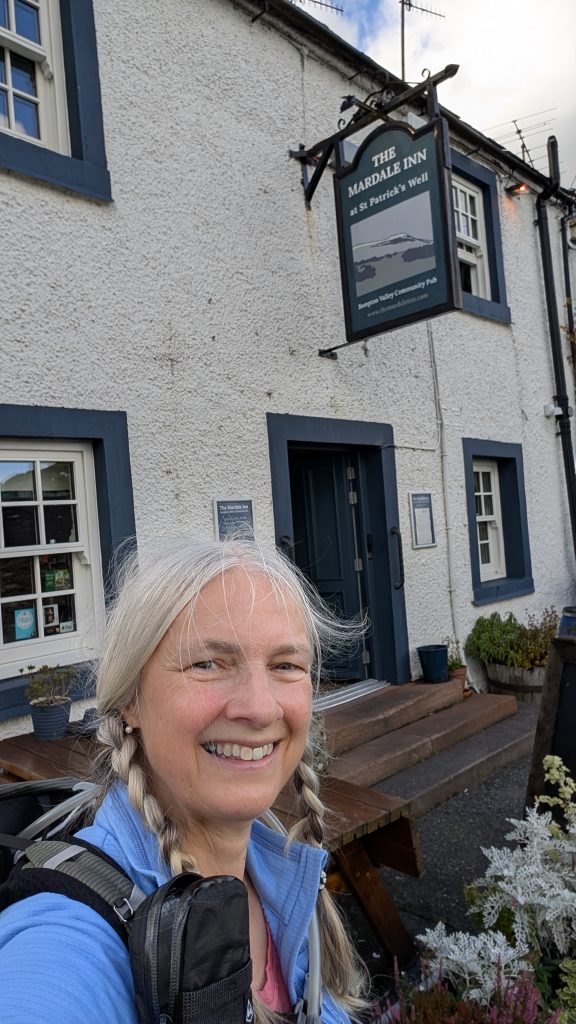
The Mardale Inn was purchased by the community in 2022 to save it for the village. I arrived to a warm welcome, I had a big comfy bed and a large bathroom down the hall. Later after a nice hot shower I went down to the bar area where I had a table reserved, and had a delicious cauliflower cheese soup. It’s a very well renovated and maintained old inn, also very clean and nice little touches in the decorations. Like the woolly toy sheep on the bed. Dogs also well catered for in the bar with water and snacks! Before long off to bed I went with dreams of a nice sunny… Or possibly a little less rainy day tomorrow.